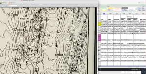
From June 2016 to October 2017, I was part of an interdisciplinary digital scholarship team that developed the PLACE Project, an IMLS-funded program to build a geospatial interface. The Project, which is now in its third year, will use Fedora Commons and Open Geoportal to ingest approximately 3,000 digital assets from UNH’s digital collections, encode them with Dublin Core and GIS metadata, and allow users to search them by location. PLACE was designed to be a more flexible interface that allows better access to digital collections. The PLACE Project included digital librarians, historians, geographers, and programmers. The digital collections that were prepared for ingest included government documents, records of local scholarly organizations, topological maps, and photographs from around New England. My work on the PLACE Project ended in October 2017, with the end of the funding term.
My responsibilities included assisting with the creation of work flows and identifying new technologies for our toolkit as we produce new digital assets from digitized materials, then analyzing the assets to produce the initial raw information (geographical terms, GIS coordinates, quadrants, keywords, people, etc) that produced the Dublin Core, FGDC, ISO, NISO, and LCSH metadata. I also worked on editing raster layers from historic maps and other digitized sources to align them with true north, and wrote the project’s toolkit at the conclusion of the grant.